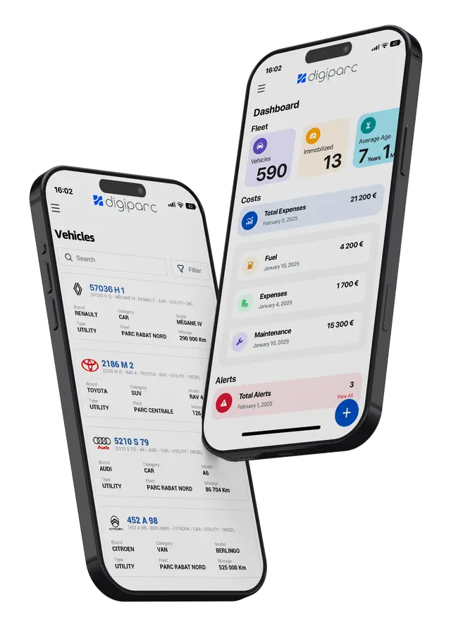
Digiparc · Télématique
Simplified map exploration
Navigation & fleet routing
A smooth map experience: latitude / longitude lookup, “route from here” or “route to here” planning, clear path visualisation and travel-time context — all in the same Digiparc telematics core.
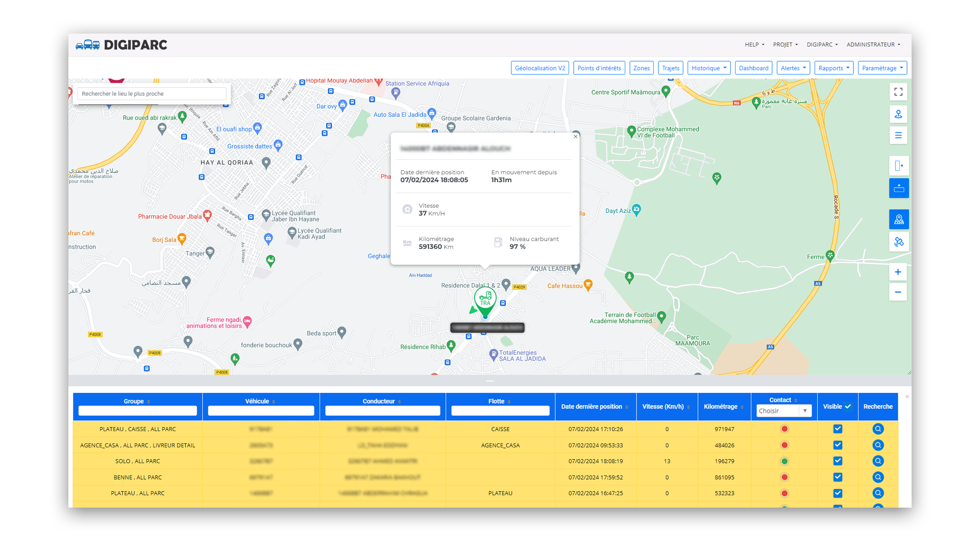
Precise location search
Enter latitude and longitude to drop a point on the map instantly — fewer ambiguities, tighter control of meetups or interventions.
Helps align field teams and back-office without endless back-and-forth.
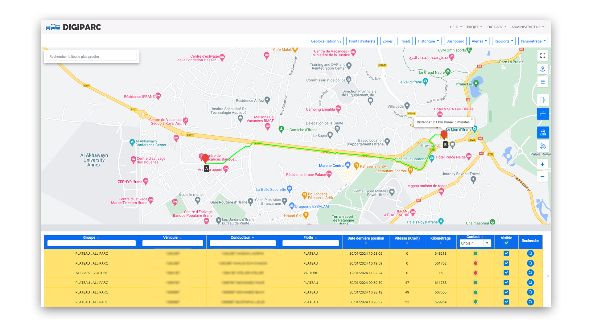
Simplified routes
Plan a route by picking start and end: the system proposes an optimised path with a clear visual trace.
Distance and duration summarised for fast decisions, consistent with the rest of Digiparc telematics.
Complementary telematics features
Digiparc brings together 15 fleet GPS features — browse the grid below to open each feature.
- Geolocation — GPS map
- Fleet geolocation and advanced telematics
- Precise stop monitoring
- Expert configuration of operational zones
- Daily reports for operational optimisation
- Precise geolocation: manage your points of interest
- Accurate trip tracking with advanced geolocation
- Effective fuel consumption monitoring
- Remote vehicle immobilisation
- Detailed exploration of trip history
- Precise navigation and simplified routes
- Real-time speedometer and overspeed alerts
- Fuel theft protection (protection and analysis)
- Geofencing to maximise operational efficiency
- Detailed analysis and precise recommendations